Canadian Satellite to Monitor Arctic Ice Melt
A new satellite developed in Canada is set to launch this year, aiming to deliver critical data on Arctic ice loss and climate change impacts.
2025-06-26 11:14
By By Jason Newton, True North Journal
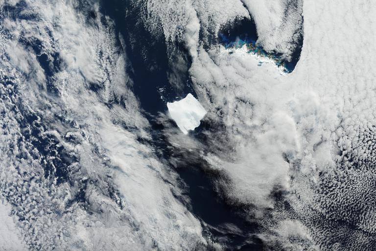
Canada is set to launch a new satellite designed specifically to monitor Arctic sea ice and its ongoing decline due to climate change. The mission, a collaboration between the Canadian Space Agency and a consortium of climate scientists, is expected to provide more accurate and frequent data on ice coverage and thickness.
The satellite, named Borealis-1, will orbit in a sun-synchronous pattern, allowing it to pass over the poles multiple times a day. Equipped with synthetic aperture radar, it can capture images even through cloud cover and during polar night conditions.
Dr. Lila Mohan, a glaciologist at the University of Manitoba, says the mission could be a game-changer. “We’ll be able to track ice dynamics in near real-time, which is crucial for understanding how quickly the Arctic is warming and what that means for global sea levels.”
The data will also assist Indigenous communities in the North who rely on sea ice for transportation and hunting routes. Real-time information could help improve safety and planning, especially during shoulder seasons when ice is unstable.
The project has received praise from international partners, including NASA and the European Space Agency, who may use the data in collaborative climate models.
Borealis-1 is expected to launch later this year aboard a SpaceX Falcon 9 rocket from Vandenberg Space Force Base in California.